TIST Uganda
Since 2003

TIST Farmers in Uganda
10,853
Total number of Small Groups
68,477
Total number of Small Group members
3,664
Total number of villages involved
TIST Trees in Uganda
11,149,966
Total of TIST trees alive, growing and being monitored in Uganda
2,720,598
Total of TIST seedlings alive, growing and being monitored in Uganda
Top 10 Species
Pinus Patula, Eucalyptus, Pine, Gravellia, Orange, Teak, Cyprus, Mango, Omusizi & Omuguruka
TIST Southwestern Uganda Growth
Watch the growth of the TIST Program in Uganda.
TIST Uganda Program Areas
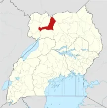
Amuru
Amuru District is a district in Northern Uganda. It is named after its 'chief town', Amuru, where the district headquarters are located. The administrative headquarters of the district at Amuru, are located approximately 60 kilometres (37 mi), by road, northwest of Gulu, the largest city in the sub-region. It is estimated that the population of the district in 2012 was approximately 178,800.
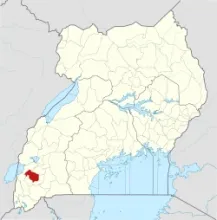
Bushenyi
Bushenyi District is a district in Western Uganda. It is named after its chief town, Bushenyi, where the district headquarters are located. The largest town in the district, Ishaka, is located 75 kilometres (47 mi), by road, northwest of Mbarara, the largest city in the sub-region. It is estimated that the population of the district in 2012 was approximately 251,400.
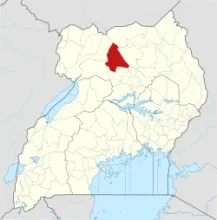
Gulu
Gulu District is a district in the Northern Region of Uganda. The town of Gulu is the site of the district headquarters and is its chief commercial centre. The district headquarters in the town of Gulu are approximately 340 kilometres (210 mi), by road, north of Uganda's capital city, Kampala. In 2012, the population was estimated at 396,500.
Kabale
Kabale is a town in the Western Region of Uganda. It is the chief town of Kabale District, and the district headquarters are located there. It is approximately 420 kilometres (260 mi), by road, southwest of Kampala, Uganda's capital and largest city. According to the 2002 national population census, Kabale municipality had approximately 41,350 inhabitants.
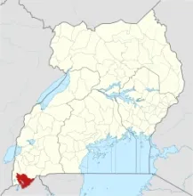
Kanungnu
Kanungu is a town in the Western Region of Uganda. It is the location of the district headquarters for Kanungu District. Kanungu is located approximately 43 kilometres (27 mi), on a winding dirt road, southwest of the town of Rukungiri, the nearest large town. This location is approximately 404 kilometres (251 mi), by road, southwest of Kampala, the capital and largest city of Uganda. It has been estimated that the population in 2012 was 252,100.
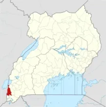
Kayunga
Kayunga District is a district in Central Uganda. It is named after Kayunga city, where the district headquarters are located. It lies approximately 74 kilometres (46 mi) northeast of Kampala, on an all-weather tarmac highway. According to 2014 National Housing and Population census, the Kayunga population was at about 368,064.
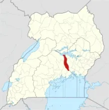
Kiryandongo
Kiryandongo District is a district in Western Uganda. It is named after its 'chief town', Kiryandongo, where the district headquarters are located. Kiryandongo, the location of the district headquarters, lies approximately 225 kilometres (140 mi), by road, northwest of Kampala, Uganda's capital and largest city. In 2012, the population of Kiryandongo District was estimated at about 317,500.
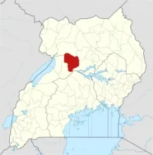
Kyenjojo
Kyenjojo District is a district in the Western Region of Uganda. Kyenjojo town is the site of the district headquarters. The district headquarters at Kyenjojo are approximately 274 kilometres (170 mi), by road, west of Kampala, Uganda's capital and largest city. In 2012, the population was estimated at 383,600.
Omoro
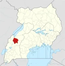
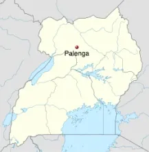
Omoro District is a district in the Northern Region of Uganda bordered by Gulu District to the north, Pader District to the east, Oyam District to the south and Nwoya District to the west. The town of Palenga, where the district headquarters are located, is about 24 kilometres (15 mi) by road south of Gulu, the largest city in the Acholi sub-region. This is approximately 311 kilometres (193 mi), by road, north of Kampala, the largest city and capital of Uganda.
Rukungiri
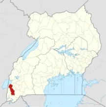
Rukungiri District is a district in the Western Region of Uganda. The town of Rukungiri is the site of the district headquarters. The district headquarters are approximately 400 kilometres (250 mi), by road, south-west of Kampala, Uganda's capital city. In 2012, the population was estimated at 321,300.
Soroti
Soroti District is a district in Eastern Uganda. It is named after its chief municipal, administrative and commercial headquarters, Soroti, where the district headquarters are located. Soroti is approximately 116 kilometres (72 mi), by road, northwest of Mbale, the nearest large city. In 2011, the Uganda Bureau of Statistics estimated the District population at about 322,000.
